If you’re planning a trip in Türkiye and want to connect the inland cultural hub of Konya with the Mediterranean charm of Alanya, it’s natural to ask: how many kilometers between Konya and Alanya? Knowing the exact distance helps you choose the best travel option, set your budget, and plan your itinerary without guesswork.
Exact Distance and Travel Time
By road, Konya and Alanya are approximately 263 kilometers apart if you follow the D695 highway, according to DriveBestWay. This route typically takes around 3 hours and 7 minutes under good driving conditions.
In a straight line, however, also called “as-the-crow-flies” distance, the gap is much shorter: about 153–154 kilometers, as calculated by DistanceCalculator.io and DistanceFromTo.net. The difference between the two figures comes from the winding nature of mountain roads, especially when crossing the Taurus Mountains, which separate Konya’s high plains from Alanya’s coastal plain.
Main Travel Routes
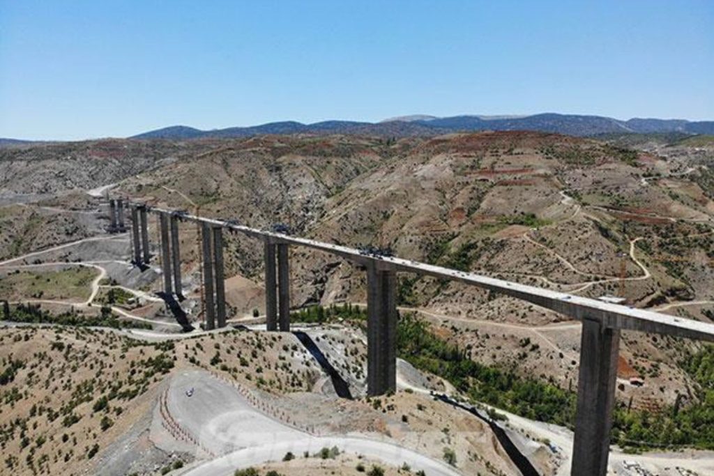
If you’re driving, the D695 highway is the most direct route, passing through Seydişehir and cutting across scenic mountain terrain. While this is the fastest way, it also features several sharp curves and steep inclines, something to keep in mind if you’re not used to mountain driving.

An alternative is to head south via the Konya–Beyşehir road before connecting to the coastal highway, but this will add distance and time to your trip. That said, it rewards you with lake views and quieter traffic, making it a better choice if you value scenery over speed.
Travel Options and Considerations
So, how many kilometers between Konya and Alanya? The answer depends on whether you measure by road or straight line, but your travel experience will also depend on the mode of transport you choose.
- By Car: Offers flexibility to stop at mountain viewpoints or towns like Seydişehir. Driving takes roughly 3–4 hours.
- By Bus: A popular option in Türkiye, with travel times around 5–6 hours due to scheduled stops.
- By Air: There’s no direct flight; the nearest airport to Alanya is Gazipaşa-Alanya Airport (GZP), and reaching it from Konya typically involves a connection via Antalya or Istanbul.
Factors Affecting Travel Time
The official road distance from Konya to Alanya might look straightforward on a map, but actual travel time can vary. Summer, for example, brings heavier tourist traffic along the Mediterranean coast, which can slow you down by 30–40 minutes. In winter, the Taurus Mountains may experience snow or fog, especially at higher elevations near Seydişehir, requiring slower driving for safety. Roadworks, holiday weekends, and your own driving pace will also influence how long the trip takes.
If you’re traveling by bus, expect small variations in schedule due to passenger pickups and rest breaks, particularly during peak travel months like July and August.
Best Time to Travel
Spring (April–June) and autumn (September–October) offer the most pleasant weather for the Konya–Alanya route. During these months, you can avoid the intense summer heat in Alanya while still enjoying clear roads and good visibility in the mountains. If you’re a fan of cooler temperatures, early spring offers crisp air in Konya before you descend to the warmer coastline.
Travel Tips for the Journey
A little planning can make your Alanya trip smoother and more enjoyable. Keep these tips in mind to stay comfortable and safe along the way:
- Fuel up in Konya before heading south, as fuel stations are less frequent in certain mountain stretches.
- Carry water and snacks for the road, especially if you plan to stop for photos or scenic views.
- Pause in Seydişehir for a quick meal and rest before continuing.
- Take advantage of mountain viewpoints along the D695 to enjoy panoramic forest and valley scenery.
- Consider breaking the trip over two days, with an overnight stay in a lakeside town like Beyşehir before heading to the coast.

Conclusion
In summary, the road distance from Konya to Alanya is about 263 kilometers, taking 3–4 hours by car under good conditions. Whether you drive, take a bus, or arrange private transport, balancing your priorities—time, budget, and scenery—will help you make the most of this inland-to-coast journey.
Now that you know how many kilometers between Konya and Alanya, you can set your route, check your timings, and enjoy the diverse landscapes that make this part of Türkiye so unique.
FAQs
1. How many kilometers between Konya and Alanya by road?
By road, the distance is around 263 kilometers via the D695 highway, and the drive typically takes 3–4 hours in normal conditions (DriveBestWay).
2. What is the straight-line distance between Konya and Alanya?
The straight-line, or “as-the-crow-flies,” distance is approximately 153–154 kilometers (DistanceCalculator.io). The actual driving distance is longer due to mountain roads.
3. Is there a direct flight from Konya to Alanya?
No, there are no direct flights. The nearest airport to Alanya is Gazipaşa-Alanya Airport (GZP), and reaching it from Konya usually requires a connection through Antalya or Istanbul.
4. What is the cheapest way to travel from Konya to Alanya?
The cheapest option is usually an intercity bus, which costs less than private transfers and runs multiple times a day, taking around 5–6 hours.
5. What is the best time of year to travel between Konya and Alanya?
Spring (April–June) and autumn (September–October) are ideal, offering mild temperatures, clear roads, and less tourist traffic.